Some places come and go, while some places become icons. Mandatory Milwaukee is all about the latter. Join us as we revisit beloved and well-worn local staples with fresh eyes, and explore how they might figure in the city’s future
Where do you begin with the Oak Leaf Trail? It’s a question both figurative and literal: Where do you begin when talking about the 125-mile network of paved trails and street connections that winds its way through all 19 municipalities of Milwaukee County? Where do you begin when delving into its fascinating history and its improbable place in modern-day Milwaukee?
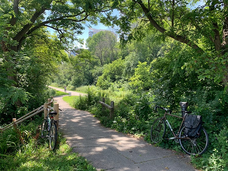
Also, where do you begin your walk, your jog, or your bike ride on the Oak Leaf Trail? Where do you hop on?
Let’s start with those final questions first and hop on at Lafayette Hill, overlooking Lake Michigan, on Milwaukee’s east side…
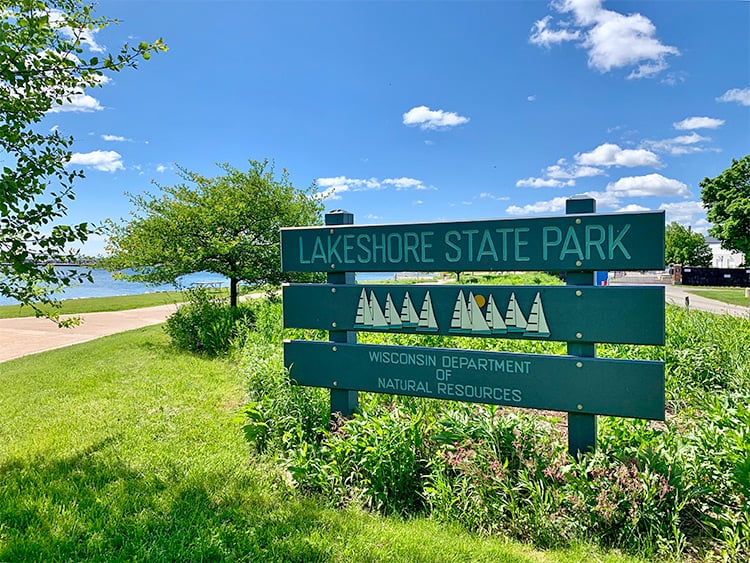
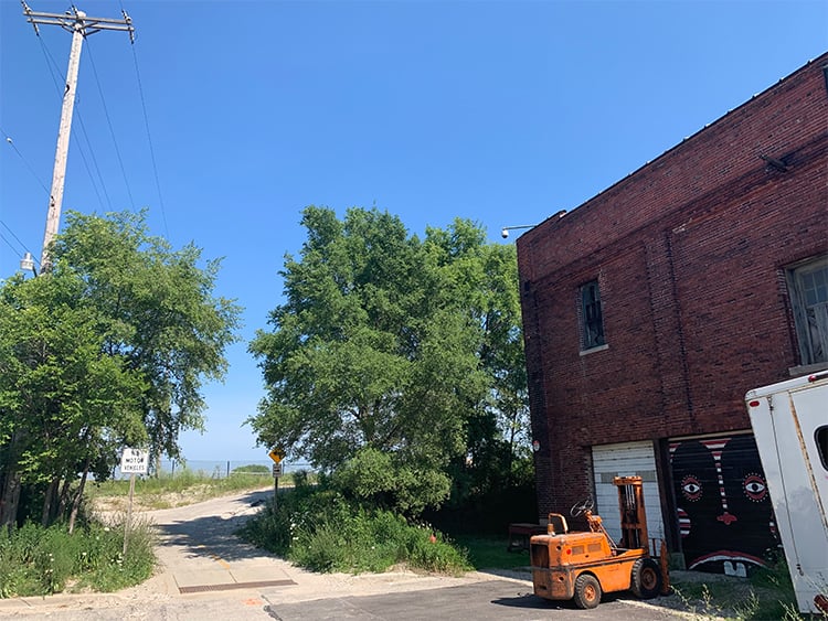
Heading south, we quickly reach the Milwaukee Art Museum and Lakeshore State Park…
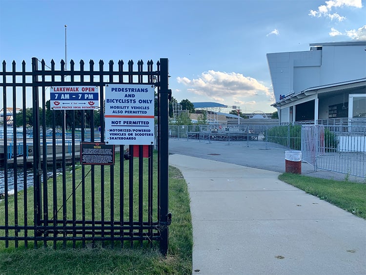
Wouldn’t you know it, the lake walk that runs behind the Summerfest grounds is open, allowing us to cruise along the Goth Rocks and putter around in the surprisingly open Mid-Gate area…
![]()
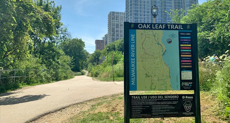
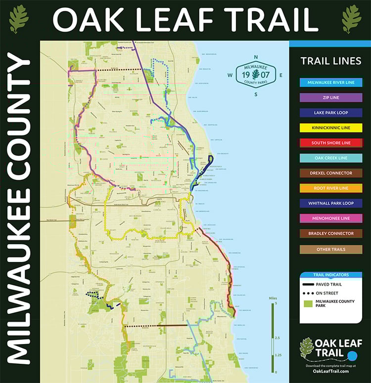
Crazy times. Oh yeah, before we go any further, here’s the map of the Oak Leaf Trail. Click on it for a hi-res PDF. Hop on wherever you like.
The history of the Oak Leaf Trail begins in 1939. And, like college students and the career of Eli Roth, it involves hostels.
On June 17, 1939, a group 0f local cycling enthusiasts led by Harold “Zip” Morgan and Sam Snead set out on a test run of a 68-mile bike route that would one day become the Oak Leaf Trail. According to a terrific 2019 article by Matthew Prigge for Milwaukee Magazine:
One of the leaders of the pack that gathered in Lake Park just before daybreak on June 17, 1939, was Harold “Zip” Morgan. Milwaukee’s director of municipal athletics since 1923 was one of the city’s leading cycling enthusiasts, achieving notoriety for his long rides of 50 to 75 miles. The idea for a long-distance trail in the city first came to Morgan in 1936, when the first youth hostelling clubs were formed in the city.
The hostel movement, like many of Milwaukee’s residents, was an import from Germany, where locals and tourists alike were enjoying long hikes along country trails that were dotted with low-cost lodgings. Morgan led hikes along paths and through the southeastern Wisconsin countryside for groups of up to 60. A grand loop that would link Milwaukee to Sheboygan County, with hostels located at 15-mile intervals, was proposed, but only a single area hostel—a farmhouse far out on North Avenue in Wauwatosa—was established.
Morgan and Snead’s initial path began in Lake Park, ran north along the Milwaukee River through Hubbard Park, kept going all the way to Kletzsch and Brown Deer parks, and ended up at the Wauwatosa farmhouse hostel. “It was not until 1965 that the trail was officially recognized by the Milwaukee County Parks Department as a 64-mile road and off-road cycling route,” Prigge writes. “Refinements over the decades had trimmed a few miles from the loop, but the path remained remarkably loyal to what Morgan, Snead and the others had first plotted in 1939.”
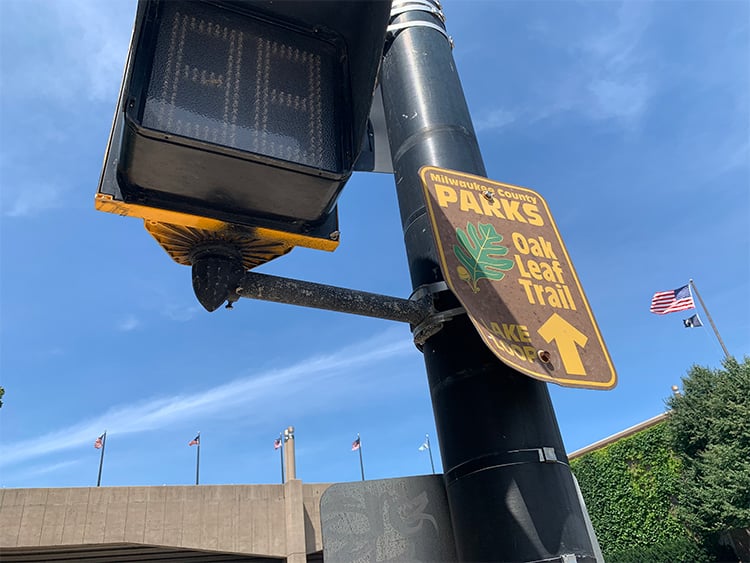
Further expansions and refinements followed, and in 1976 the trail was dubbed the “76 Trail.” (“As a memorial to the national bicentennial and the trail’s supposed length of 76 miles—although at no point was it actually that exact length,” writes Prigge.) The trail was rechristened the “Oak Leaf Trail” in 1996.
Today, the value of the Oak Leaf Trail is evident the moment you hop on: you’re often in the middle of the city, of course, but somehow you’re not. Linking Milwaukee County’s many parks was central to the early philosophy behind the trail, and it’s still important today. Seven main “branch lines,” two scenic loops, and two east-west connectors can take you as far south as Bender Park in Oak Creek, and as far north as Village Park in Menomonee Falls. The Lake and Oak Creek lines, especially, can occasionally feel like something out of an “up-north” dream.
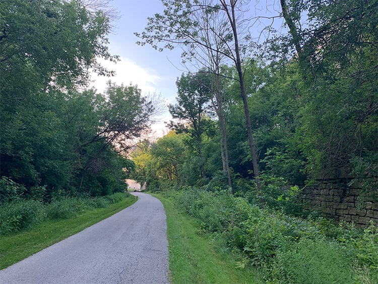
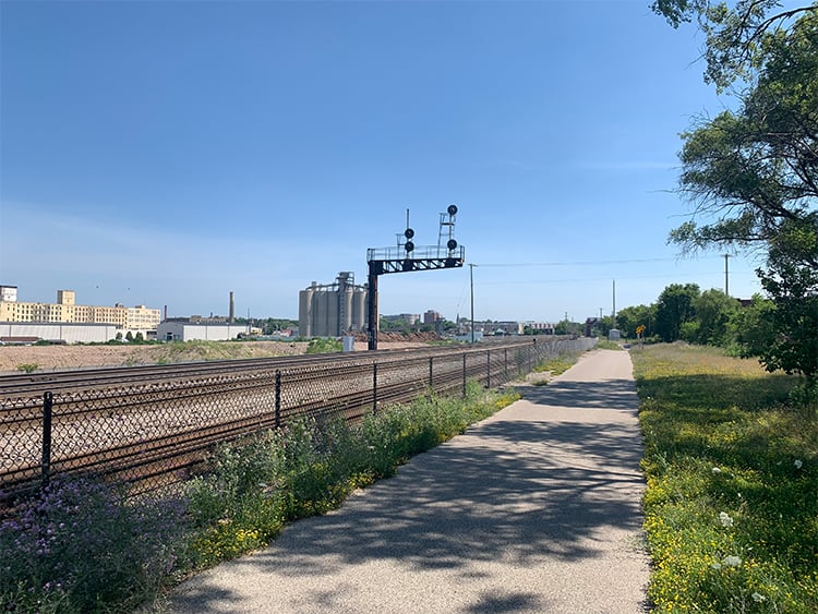
For the rest of our afternoon jaunt, however, let’s head further south, do a little street biking, make our way to Boone & Crockett, and then utilize the adjoining Kinnickinnic River Trail…
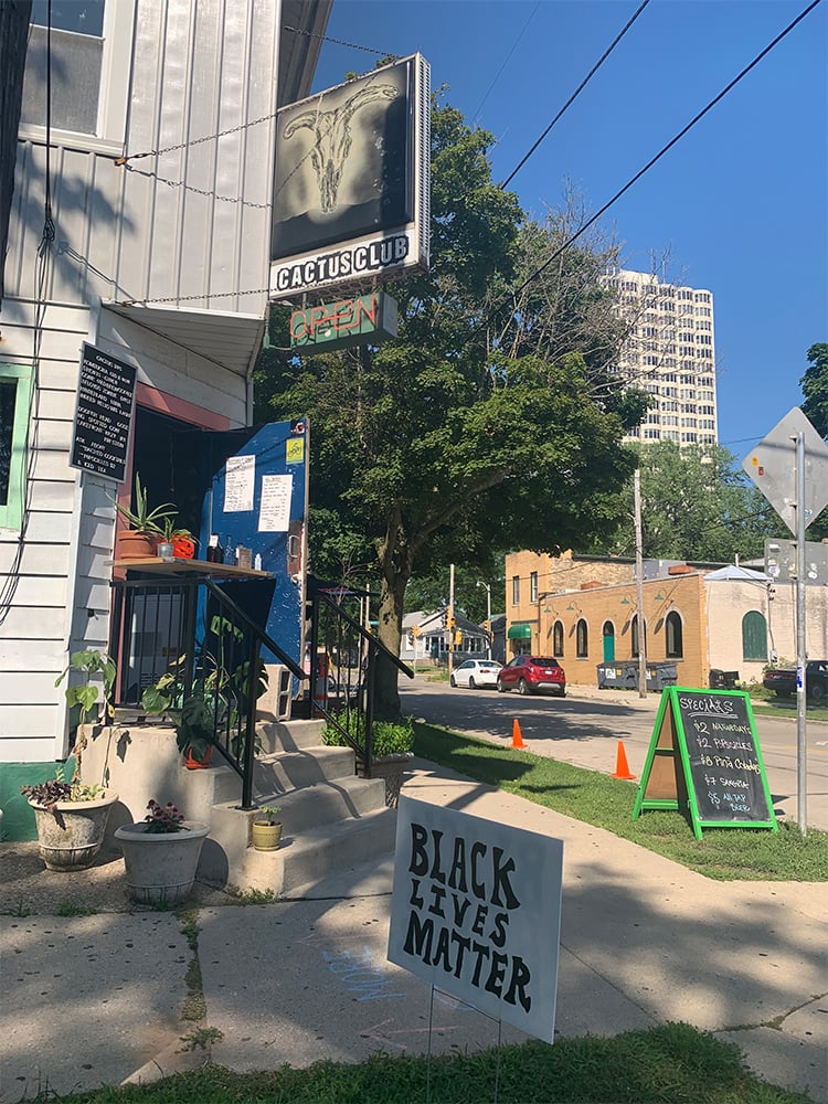
And, as god intended, we eventually end up at Cactus Club, order a drink, and chill out in the driveway next to the dumpsters. We needed this.

“Today,” writes Matthew Prigge in Milwaukee Magazine, “Milwaukee is one of just seven metropolitan areas where more than 90 percent of its residents live within three miles of a public trail, according to [Milwaukee County Parks Director Guy] Smith. An average of more than 364,000 people used the trail annually between 2015 and 2017. ‘The Oak Leaf Trail is uniquely Milwaukee,’ he says. ‘Nowhere else in the country has a system quite like it.'”
Indeed. Long live the Oak Leaf Trail. Hop on today. Cue the Morning Blend clip!