A version of this article originally appeared on our Patreon. Want to support Milwaukee Record and get exclusive articles and podcasts? Click HERE. Thanks!
Summit. Noun. “The highest point of a hill or mountain.” Summit. Verb. “Reach the summit of a mountain or hill.”
Yeah, so I’m sorry if the headline misled you. You might’ve thought I was referring to being hiiiiigh [makes a peace sign on both hands] while in the state of Indiana. While I have no doubt that would make the experience of being in the Hoosier State a lot more tolerable, I was actually talking about the time I found myself standing at the highest natural point of elevation in Indiana.
In the waning days of 2024, we were heading back home after spending the holidays with my girlfriend’s extended family in southwest Ohio. We would be dropping her brother and sister-in-law off at the Indianapolis airport on our way back to Wisconsin, but first her brother asked if we could make a slight detour, promising us “it’ll be worth it.”
We went maybe 15 minutes off course, weaving through country roads as we crossed into Indiana. Somewhere in a depressed unincorporated area called Bethel, we turned into a private driveway next to a farm. There it was.
To be honest, Indiana’s High Point honestly didn’t seem to be too much higher than its immediate surroundings.
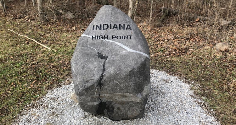
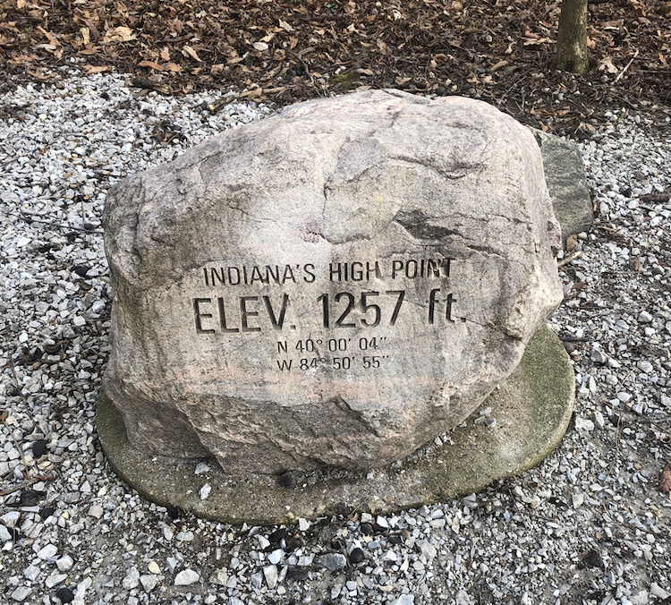
We parked near the “Indiana High Point” rock you see at the top of this article, then walked up a slight gravel incline to reach the summit of one of the country’s 50 states.
Following a maybe 30-second walk up a tiny hill a few yards from where we parked, we had officially done it. We summited the shit out of Indiana.
Apparently this topographic wonder of Midwest elevation is called Hoosier Hill. It’s been the recognized natural high point of Indiana since 1936, which is the same year a “highpointer” named A.H. Marshall “climbed” it as part of his successful attempt to eventually summit every U.S. State.
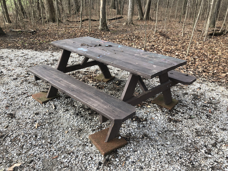
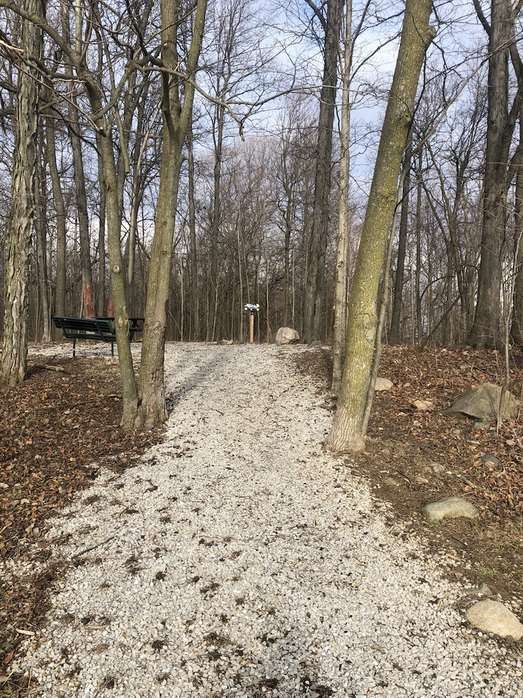
However, Hoosier Hill didn’t really become a welcoming public attraction until a Boy Scout from Kentucky (with the permission of the land owner) built signage, the trail, and a picnic area in 2005 as part of an Eagle Scout project.
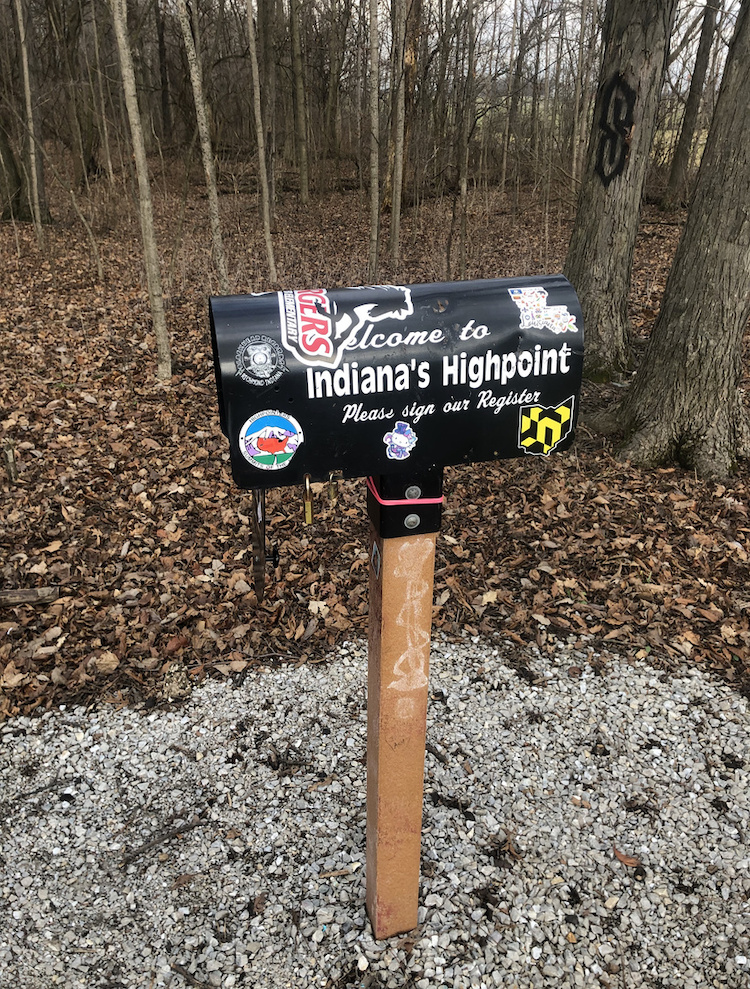
Now 20 years later, there’s a picnic table, the engraved rock designating its elevation, two benches, and a mailbox.
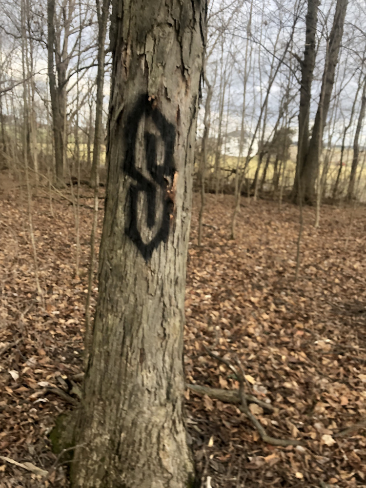
There’s also some pretty cool public art.
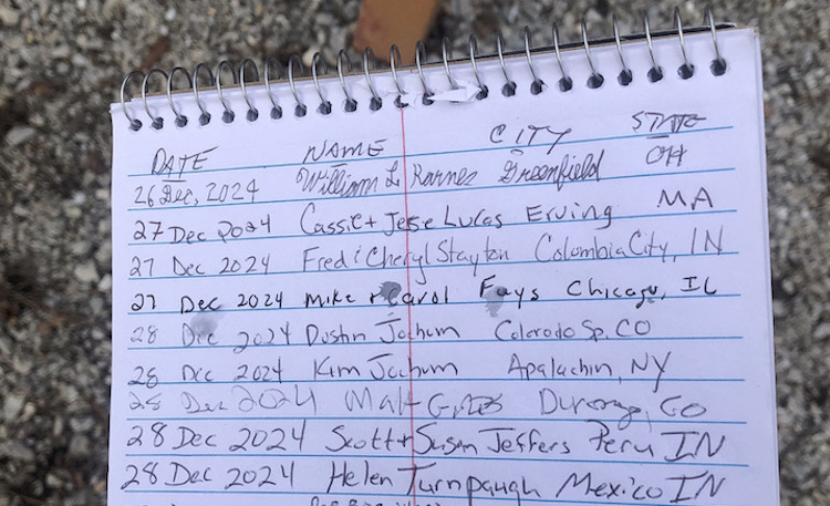
And a register, which miraculously featured far more signatures than I would’ve ever expected, including entries from folks who hail from legitimately faraway places.
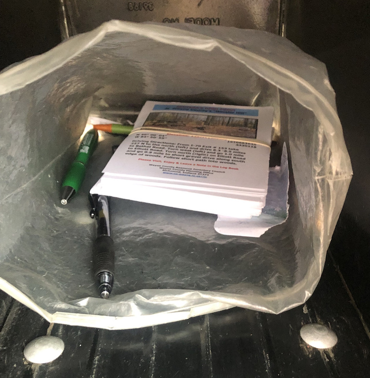
There are also donation envelopes and a locked donation box for those who wish to toss a few bucks in the direction of the property owner who graciously allows folks from all over the world to park at the edge of their farm in order to walk up a little hill and stand on land that’s higher than anywhere else in Indiana.
Oh, and it turns out the elevation is really closer to 1,255.50 feet, not 1,257 feet. That doesn’t matter, as that’s still good enough to qualify for the (literally) lofty honor. Though that height (less than 1/4 of a mile above sea level) isn’t super impressive, Hoosier Hill is actually higher than the summits of six other states, including Illinois’ 1,235-foot Charles Mound. For what it’s worth, Wisconsin’s summit (Timms Hill in Ogema, WI) is almost 700 feet higher than Hoosier Hill.
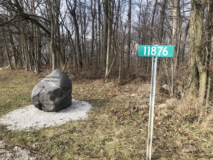
Maybe I’ll go to Timms Hill some day. Until then, I can hold my head (sort of) high knowing I reached the peak of Indiana without knowing I’d be doing so until a few minutes beforehand. If you ever find yourself near Bethel, IN with a thirst for totally attainable adventure, look for a green sign that says 11876 and get as naturally high as you possibly can in one of America’s lowest states.